GSI Forester is a well-developed, mature work execution system with which utility companies can manage vegetation across their service territories. GSI works together with key partners to bring to the market a holistic solution that incorporates hardware plus remote sensing data collection and analysis along with the identification of priority work into a comprehensive work execution system that GSI Forester provides.
Esri is one of the leading software solutions for utilities. Integration with the Esri Utility Network is a major step forward in the utility mapping marketplace, and GeoSpatial Innovations has partnered with Esri in order to provide better service for utility customers using Esri products as part of their company workflow.

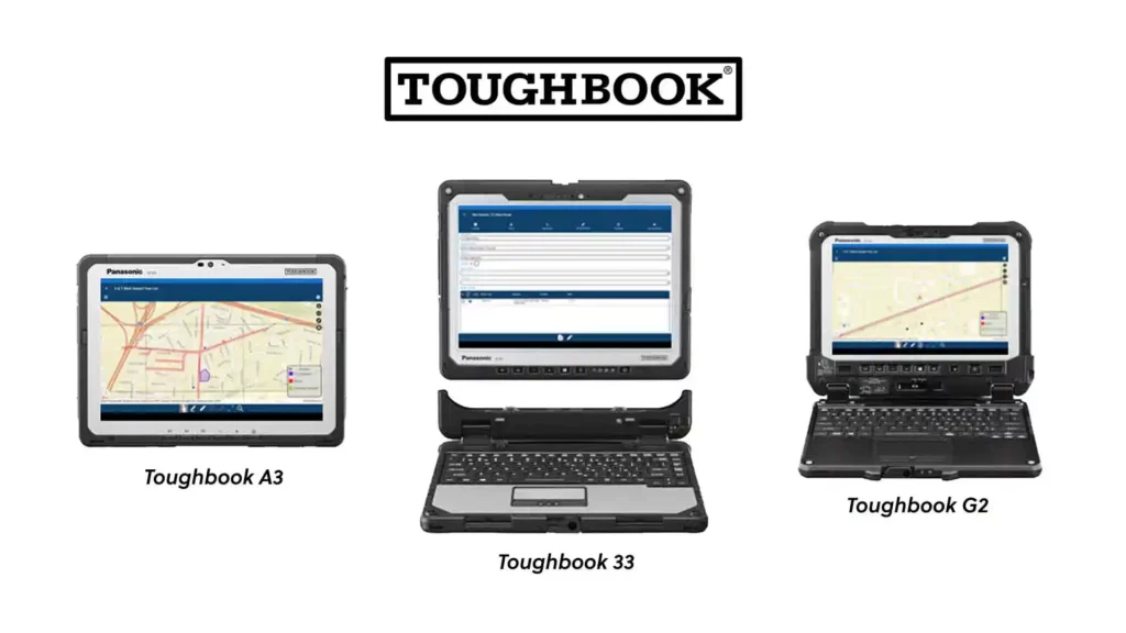
GSI is proud to offer Panasonic TOUGHBOOK® rugged laptops and handheld computers for a complete solution combining hardware and preloaded GSI software solutions for utility designers who work in harsh conditions day in and day out.
An important industry trend is using remote sensing data to drive decisions about managing UVM work. At GSI, we focus on a comprehensive work execution system. We have developed successful partnerships with firms that offer satellite imagery, LiDAR data and advanced analytics that can help utilities identify their risks and prioritize work according to the greatest need. Our System Bridge component takes this valuable information and ingests it into GSI Forester to autocreate work packets that can be electronically assigned to work crews in the field with a high degree of confidence, thereby saving time and money and eliminating the need for multiple site visits, helping to promote a safer work environment.
Subscribe to our newsletter and be the first to know about Forester benefits, updates, and features!