“Fortunately, the use of technology can be a huge money and time saver,”
Anne Beard
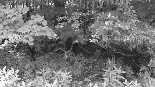
GIS software that can map vegetation in specific locations
Imaging solutions including satellite and aerial photography from drones as well as laser-based pulses of Light Detection and Ranging (LIDAR) which uses light to visualize areas of concern more precisely
Smart tools that utilize machine learning and artificial intelligence (ML/AI) to provide predictive analyses that enable proactive and predictive approaches to UVM, helping to prioritize tasks based on a model that projects which areas of vegetation pose the greatest risk


